
Madison County Neighbors Source Map
No public source lists a full block household by household. The strongest starting point is land. Huntsville GIS outlines adjacent lots and supplies district, value, zoning, flood, and other map attributes. Madison County AssuranceWeb then connects a selected parcel to a titled owner and owner mailing address. A plat can explain how lots share a block or subdivision. Voter and community sources answer narrower questions and have clear limits.
| Source | Block Evidence Available | Access and Boundary |
|---|---|---|
| Huntsville parcel GIS | Lot shape, nearby parcels, district and environment fields | Free map; identify parcels one at a time |
| AssuranceWeb | Titled owner, situs, mailing address, PIN | Free; owner is not always an occupant |
| Plats and deeds | Lot, block, subdivision, legal and title links | Free account, counter, historic archive |
| Voter records | Known person’s status or fields in a quoted list | No verified public street browse |
| Civic Association GIS | Association name, boundary, council district | Free; no member roster |
| Historic sources | Former residents and past building context | Limited to the year and collection |
These sources describe parcels, public registrations, and community areas, not every person in a home. A situs address is the land’s location. An owner mailing address is where tax mail goes. When those differ, that is evidence only that the owner receives mail elsewhere.
Map Madison County Neighbors
The research found no dedicated public buffer button. Instead, the Huntsville map supports a small polygon around the target block. That distinction matters. The tool selects parcels within a shape; it does not claim a set radius of residents. Work close to the address and inspect each lot rather than treating one result as a block list.
- Open Huntsville Find a Property, locate the address, and zoom until lot lines are clear.
- Draw a small polygon around the block and choose Submit. Use Identify on the returned parcels.
- Select each adjoining parcel, open View Property Info, and carry its parcel clue into AssuranceWeb for the titled owner.
- Compare situs, mailing address, PIN, and legal description. Record what each field proves and leave occupancy unclaimed.
The flow is address → polygon → Submit → Identify → View Property Info → Assessor. The City layer omits owner fields and warns that it does not maintain parcel data, so the assessor follow-up is essential. The REST service also caps selections and records at 2,000, far above the small shape needed for one block.
Madison County Owners and Occupants
The titled parcel owner is not automatically the occupant. A deed proves a title transfer. The roll identifies the owner used for tax purposes. Neither names every adult, child, guest, or other person at an address. The owner could also be a trust, estate, or entity. This is the key myth to avoid when identifying Madison County neighbors.
Use the PIN and legal description to make sure two records concern the same land. If a broader road-level chain is needed, the Madison County street directory carries the method through address search, deeds, permits, and old directories. For the immediate block, stop once each adjacent parcel has been checked and clearly label an owner as an owner.
Note: A matching tax mailing address can support an inference, but it still does not establish every person in the household.
Madison County Neighbors Civic Layer
Huntsville maps 31 civic groups. The Civic Associations GIS layer supplies an association name, council district, and geometry around a block. The public neighborhood page adds meeting schedules, places, websites, or email addresses when a group chose to publish them. It does not publish a private member list.
| Mapped Community | Public Contact Route |
|---|---|
| Blossomwood and Five Points | City neighborhood association directory |
| Green Mountain and Monte Sano | City directory plus mapped boundary |
| Merrimack Mill Village | Public meeting or contact details when supplied |
| Old Town and Twickenham | Association listing and civic GIS context |
| University Park | Mapped civic area and chosen public contact |
| West Huntsville–Lowe Mill | City neighborhood directory |
The Huntsville neighborhood association page is the right place to find a public meeting or group contact. It can connect an address to civic life without naming residents who never opted into a public role.
Association boundaries do not always match a subdivision name, postal neighborhood, voting precinct, or council line. Read the mapped geometry first, then use the public listing for the group’s own schedule and contact choice. A meeting place can sit outside the drawn area, and an association name alone does not prove that a specific parcel or person belongs to it. The civic layer is most useful for a question such as who represents this block at a public neighborhood meeting.
Madison County Neighbors and Voter Data
Alabama Votes is an individual verification tool, not a public block browser. It can confirm a known person’s registration status, ballot status, polling place, and address after its identity checks. A nonmatch may stem from formatting, recent moves, inactive status, or protected data. Alabama does not register voters by party, and voting history means participation, never ballot choice.
A separate voter-list request under Ala. Code §§17-4-2, 17-4-33, and 17-4-38 can select a county, city, or district and request residence and other approved fields. The Secretary of State quotes the request before payment. Electronic data costs one cent per voter, while print is one dollar per page. Protected voters may have generally released fields suppressed beyond name. Even a lawful list shows registered voters, not every resident on the block.
The request form also separates active, inactive, or both statuses and offers mail, email, or pickup in paper, thumb-drive, or email formats. Residence, mailing address if available, registration date, last election, precinct, and several district fields may be selected. Social Security numbers stay withheld. Sort and filter a delivered file only for a lawful civic or research need, and keep the file’s date because voter maintenance can change status after death data, a move notice, or address-confirmation mail.
Official Madison County Block Evidence
Official records and commercial neighbor tools are built for different aims. The first group identifies a custodian, field, date, and correction route. The second may merge public and purchased data without showing where each claim began. That makes the official path slower, but far easier to test.
| Question | Official Roll or Map | Commercial Compilation |
|---|---|---|
| Source trail | Named office and defined field | May not show the source |
| Parcel identity | PIN, situs, geometry, legal description | May merge an old address |
| Occupancy claim | Usually not established | May imply more than the source proves |
| Correction | Request the custodian to amend its record | Removal process varies by service |
Use a commercial result only as a clue that must return to a public source. Never add more identity data than an opt-out process needs, and check later for republication.
Historic Madison County Neighbors
Current parcel lines can be paired with old directories, deeds, census schedules, Sanborn maps, obituaries, and cemetery sources. Each has a different time stamp. A Sanborn sheet shows a building’s footprint, material, or use, not the occupant. A directory may name a resident and work or address clue, but only for its publication year. Deeds follow title, while an obituary may link relatives and burial.
The Huntsville city burial locator supplies a place-based cemetery search.
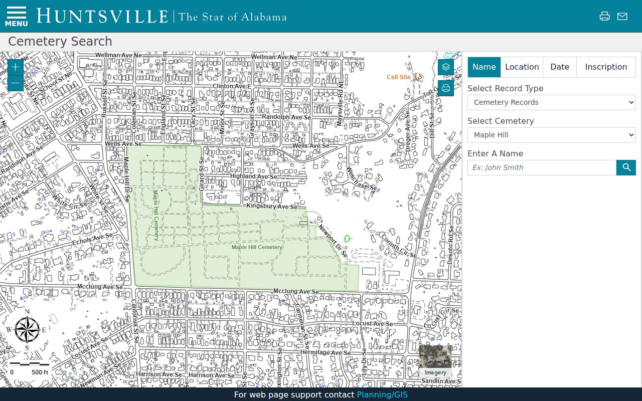
A burial result can extend a past block trail after a directory or obituary supplies the right name. It should be read as burial evidence, not a current address.
Street continuity also needs care. A 1958 ordinance renamed Oak to Gallatin, Madison to Poincianna, and High School to Pansy. Comer disappeared and Brandon extended. Historic Madison County neighbors may appear under the old street name, so a parcel, plat, or legal description is the bridge.
Madison County Community Memory
Community archives fill gaps that land files cannot. The Alabama A&M State Black Archives was established by the Legislature in 1987 and opened in 1990. It preserves more than a century of AAMU and Black community life. Its holdings matter where older mainstream directories and newspapers underdocument people, churches, groups, and local ties.
The Alabama A&M State Black Archives provides the institutional access point.
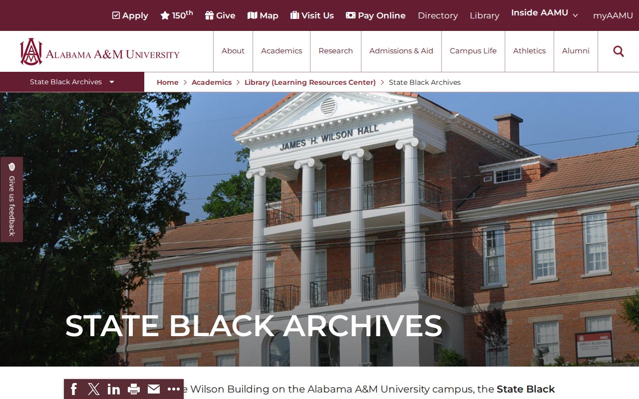
Pair its sources with the 1867 voter books, churches, cemeteries, HHC material, and the Frances Roberts papers at UAH. Archive evidence can restore a community story, but it stays bound to the collection’s date and scope.
Request Madison County Block Records
When a city-held map, permit, or record is not in a public index, Huntsville requires its public-record procedure. A good request names the address, document type, department, and narrow date range. The city says discrete requests move faster. The procedure carries a $25 minimum, so confirm the keeper and scope before filing. County permit and property clues may instead be available through CityView, while older land material may require the Probate archive.
The Huntsville public-record request page shows the city’s route and fee terms.
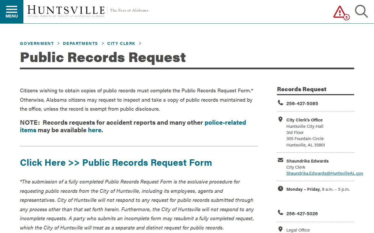
If Huntsville is not the custodian, do not force the request there. A Huntsville or Madison mailing city can cross municipal and county lines, so confirm jurisdiction in GIS before choosing the office.
Madison County Neighbors Privacy Limits
Private utility accounts, DMV personal data, delivery files, protected addresses, and unlisted household members stay outside this method. Alabama vital records restrict births for 125 years and deaths for 25 years. Court rules close sealed, juvenile, adoption, and other protected material. Ala. Code §30-5-5(f) shields a protection-order plaintiff’s home or business address and phone in public court documents.
The official ALEA Community Information Center registry search is a separate public-safety source with statutory name and location modes.
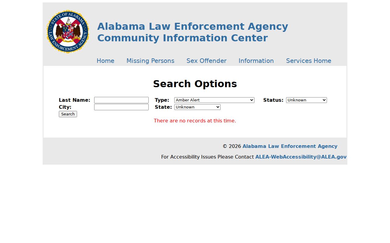
Registry data is limited to covered records and carries a direct warning against harassment or crime against a listed person or anyone at the address. It must not be treated as a roster of the block.
Lawful use. Learn about Madison County neighbors for civic contact, local history, reconnection, or personal awareness. Never watch, threaten, harass, intimidate, or harm a person.