
Madison County ZIP Coverage
The Madison County ZIP code directory includes Huntsville's urban delivery areas, the City of Madison, rural communities, Redstone Arsenal, and small edge intersections. The table summarizes the verified local coverage described in county research. A mail city is the postal label, not a finding about municipal or county government.
| ZIP | Areas covered | Post office or mail city | Local note |
|---|---|---|---|
| 35739, 35741 | Ardmore edge; Brownsboro and eastern Huntsville/county | Ardmore; Brownsboro | 35739 crosses jurisdictions |
| 35748, 35749 | Gurley and eastern county; Harvest and northwest county | Gurley; Harvest | 35749 appears in multiple GIS polygons |
| 35750, 35756 | Hazel Green; southwest Madison corridor | Hazel Green; Madison | 35756 extends into Limestone County |
| 35757, 35758 | West and northwest growth; core City of Madison delivery area | Madison | Mail city does not settle jurisdiction |
| 35759, 35760 | Meridianville north of Huntsville; southeast county and New Hope | Meridianville; New Hope | County and town edges require map checks |
| 35761, 35763 | Large northeast rural area; southeast mountain-valley communities | New Market; Owens Cross Roads | Broad rural coverage |
| 35773, 35776 | Toney north and northwest; small eastern county intersection | Toney; Woodville | Edge geography |
| 35801, 35802, 35803 | Central Huntsville; south; far south | Huntsville, including Downtown and Haysland stations | 35801 includes downtown |
| 35805, 35806, 35808 | West Huntsville; northwest and Research Park; Redstone Arsenal | Huntsville | 35808 is Arsenal-centered |
| 35810, 35811, 35816 | North; northeast and eastern county; northwest urban area | Huntsville | Urban and county coverage can meet |
| 35824, 35896 | Southwest airport growth; special or limited GIS geography | Huntsville | Verify current use before relying on 35896 |
The official Huntsville ZIP boundary service is the source for the city's generalized polygon layer.
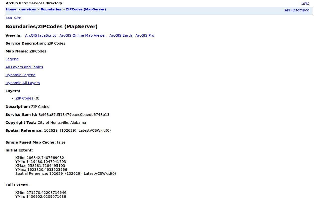
The service turns the postal areas into map features that can be compared with parcels and other boundaries, but it does not turn a ZIP polygon into a city limit.
Madison County ZIP Map Fields
The city layer exposes a small, clear set of fields. It can query and order ZIP polygons, return distinct values and statistics, use distance searches, and paginate results. The service caps records at 2,000. Those tools are useful for geography, not for returning resident names.
| Layer field | Type of value | ZIP directory use |
|---|---|---|
| OBJECTID | Map feature identifier | Distinguishes one polygon feature |
| Zipcode | Postal code | Filters the selected ZIP |
| Mail_City | Postal city name | Shows the preferred mail label |
| ZipID | Layer identifier | Supports feature queries |
| Geometry, area, length | Polygon data | Maps size, edge, and intersections |
The ZIP layer field page displays the schema used in a Madison County ZIP code directory map query.
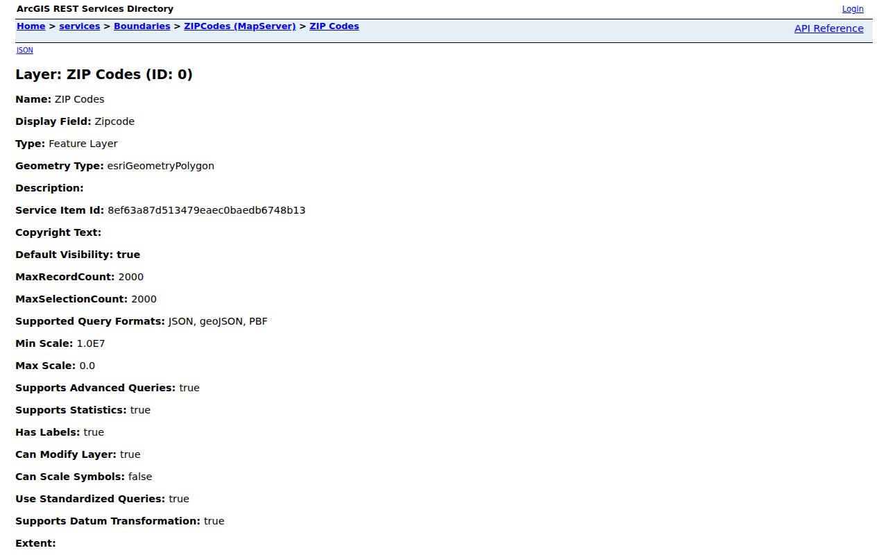
The visible fields make an important limit plain: the layer stores postal geography. It does not contain ownership, voter, or household fields.
Find Madison County Residents by ZIP
A ZIP code is a first-pass filter. Start with a current postal check, locate the code on the official GIS layer, and then move to the custodian that holds the needed record. The assessor can confirm a known address or owner, while a formal voter-list request can ask for selected geography. Neither source should be treated as a complete list of all people living within the polygon.
- Verify the complete address and current ZIP with the official postal lookup, especially for a special, historic, or PO-box-related code.
- Find the ZIP polygon in the Huntsville layer. Compare the point with parcel, municipal, and county boundaries.
- Use AssuranceWeb Property to connect a known address or owner with the parcel and PIN. Do not infer that the titled owner occupies the home.
- For lawful civic research, request an Alabama voter-file extract by an available geography and sort the delivered file. Phone and mailing data appear only if available, while protected fields remain withheld.
- Once the area is narrow enough, shift to the Madison County street directory for the address, parcel, and deed chain.
Alabama's individual My Voting Information tool confirms a known person's status and polling details. It is not a ZIP-wide browser. A formal request may select a county, city, or named district, but the research did not verify a ZIP checkbox. State election statistics and precinct results are better sources for aggregate context than for identifying one resident.
Madison County Address Syntax
Huntsville's address locator expects house number, street name, street type, quadrant, and then an optional unit. A number cannot start with zero. The street name starts with a letter. NW, NE, SE, and SW are the valid quadrants, while Apartment, Apt, or Suite can stand in for Unit. Only house number and street name are required.
The Huntsville address lookup instructions show the local form that should be tested before deciding that a ZIP code directory address is missing.
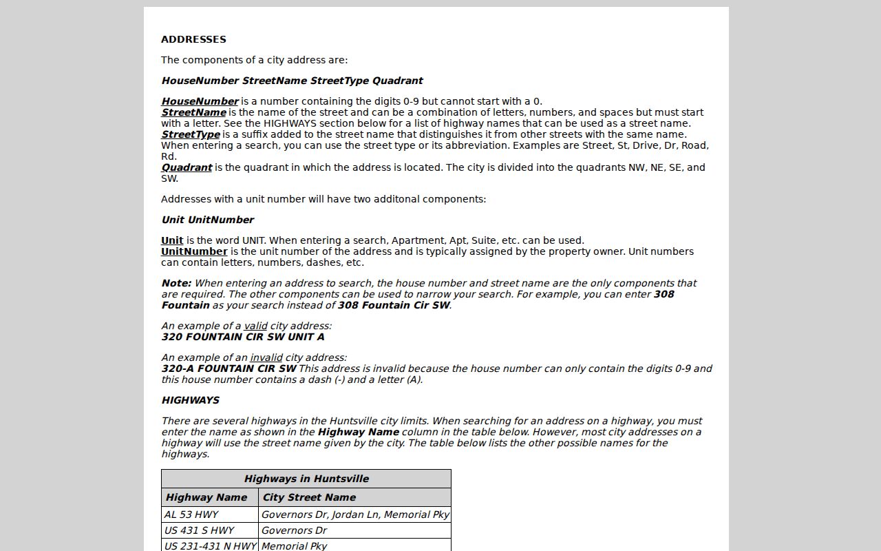
The syntax helps separate a formatting failure from a true nonmatch, especially where a quadrant or unit changes the address.
County Public Works assigns new addresses only in unincorporated Madison County. A new number requires recorded-deed ownership, at least 30 feet of county-road access through ownership or recorded easement, and a $25 cash or check fee. The email request includes the owner or business, PIN or marked aerial, subdivision and lot, road, nearby intersection, and structure type.
Madison County ZIPs Versus Limits
Huntsville extends into Limestone County, and so does the City of Madison. A Huntsville or Madison mail city therefore does not choose the assessor, Probate office, court, school system, or municipal government. ZIP 35756 is a direct example of a Madison mail area extending into Limestone County. ZIP 35739 also crosses jurisdictions at the northern edge.
Map the address point against the county and city boundary before opening a record portal. The ZIP code directory tells where mail is sorted. The parcel map tells which government area contains the land. That distinction prevents a searcher from asking Madison County for a deed that another county records, or treating an unincorporated address as a city parcel.
- ZIP code
- A five-digit postal delivery area. It is not a government boundary.
- ZIP+4
- The five-digit ZIP plus four more digits that narrow a delivery segment.
- PO-box ZIP
- A code tied mainly to post-office-box delivery rather than a broad street area.
- Unique ZIP
- A code assigned to one high-volume organization or site.
- Carrier route
- A mail-delivery path within a ZIP, not a parcel or city boundary.
Boundary check. Treat a postal city as a mailing label, then confirm the parcel's county and municipality in official GIS.
Special Madison County ZIP Clues
Several Huntsville codes need an extra check. ZIP 35812 remains a Huntsville or Marshall last-line code even though USPS discontinued its classified station in 2011. ZIP 35813 is tied to the main office and PO boxes. The city GIS also contains 35893 and 35898, while historic references can show 35804, 35807, 35814, 35815, 35894, 35895, and 35899.
Do not assume that an old code still works as a current residential area. Verify it through USPS before using it to narrow another database. ZIP 35896 appears as special or limited geography in city GIS and Census ZCTA material, so its presence on a map is not enough to define ordinary street delivery.
Note: A historic ZIP can explain an old document without serving as a valid current filter.
Madison County's 2007 ZIP Shift
USPS realigned 35824 on January 8, 2007. All 758 associated PO boxes moved to the 35813 last-line address. That change can make the same person, organization, or box appear under two ZIP labels across records created before and after the effective date.
Search both codes when a record trail crosses 2007, but keep the street address, box number, and document date attached to each result. The shift is an address-history clue, not proof that a person moved. This is one reason a Madison County ZIP code directory search should preserve the source date instead of normalizing every old record to today's code.
Madison County ZIP Neighborhood Layers
Neighborhood names offer local context within broad ZIP polygons. Huntsville publicly lists civic groups such as Blossomwood, Five Points, Green Mountain, Merrimack Mill Village, Monte Sano, Old Town, Sherwood Park, Triana Village, Twickenham, University Park, West Huntsville-Lowe Mill, and Whitesburg Estates. The page provides meeting places, schedules, and public contacts where supplied. It does not publish private member rosters.
The official neighborhood association directory illustrates the community layer that can refine a broad Madison County ZIP code area.
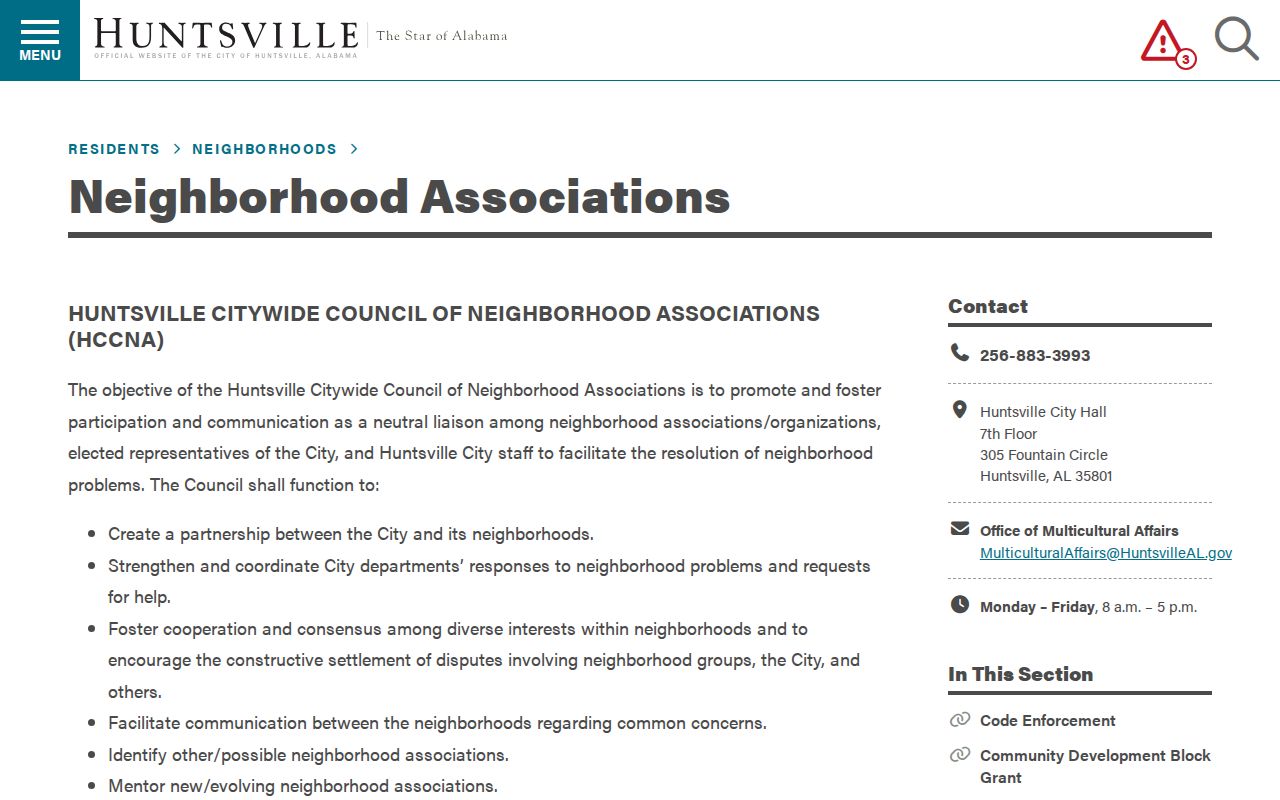
Association names can help describe a place or locate a public contact, but they do not identify everyone within the ZIP or neighborhood.
The civic-association boundary layer adds association name, boundary, and council-district geography.
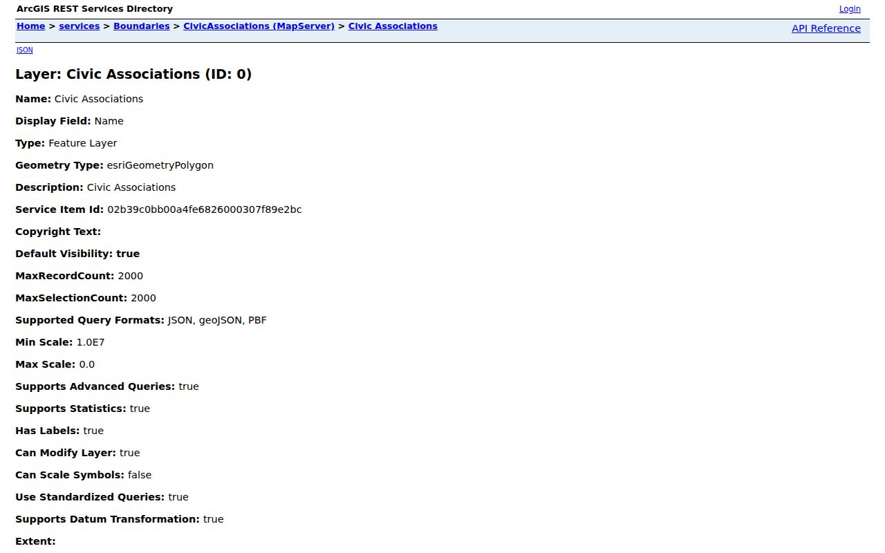
Comparing that layer with ZIP polygons reveals how one postal area may contain several community identities, each with a different civic focus.
Read Madison County ZIP Evidence
Four address ideas should remain separate. Situs is the assigned physical location. A mailing address is the delivery label. An owner mailing address is the tax-contact address and may point elsewhere. The legal description is the enduring land identity used in deeds and plats. A ZIP code belongs to the mailing layer, not all four.
The parcel and legal description are stronger bridges when a postal code or street name changes. For resident research, compare dates and custodians before joining two records. A property roll proves title information. A voter record supports registration. A neighborhood boundary shows civic geography. None of them alone establishes a complete household.
Madison County grew from 388,153 people in the 2020 Census to a July 2025 estimate of 433,516. That pace of growth makes address-date and jurisdiction checks especially useful around Madison, Research Park, the airport corridor, and Huntsville's expanding edges.